An aerial photo and article by Gary Sater, Friends of Pheasant Branch Conservancy, Board Member and Co-chair Restoration & Management Committee.
On March 12, Quercus Land Stewardship Services conducted a successful and extensive prescribed burn within the Dane County portion of Pheasant Branch Conservancy. The above aerial photo was taken before the burn showing the Shannon Prairie on the right and a portion of the Sedge Meadow on the left. Note the stairs on the bottom right that lead to the Springs.
Specifically, the prescribed burn planned by our previous land manager, Rob Schubert, covered the southeast Sedge Meadow, the Propagation Garden, and Shannon Prairie. Wind speed and direction, air temperature, and sufficient dried fuel on the ground all pointed to favorable conditions for the burn. For further insights on the significance of a fall burn, view our 2023 fall newsletter.
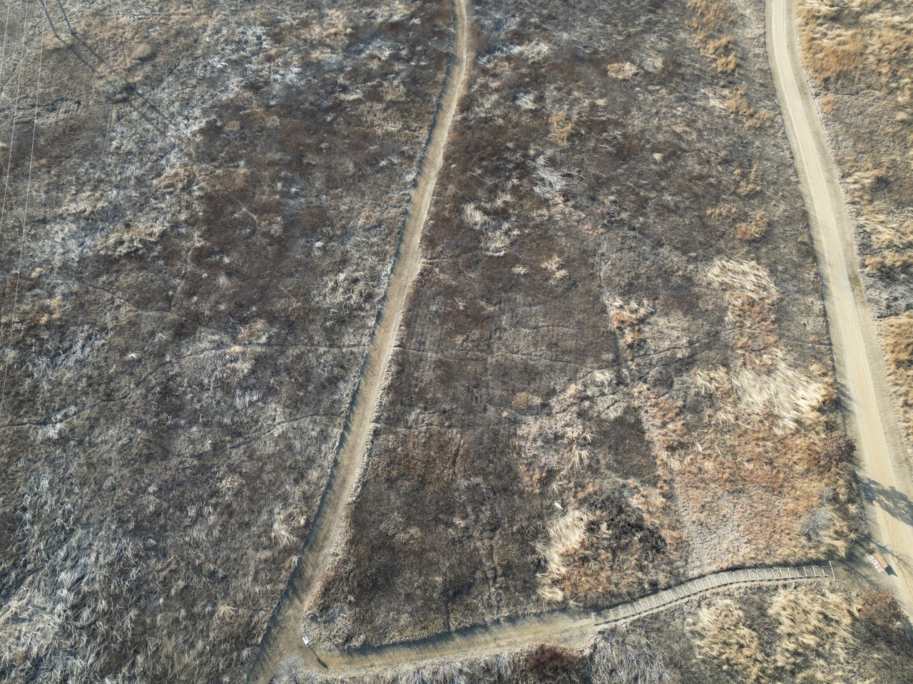
The only area that did not burn as well as we had hoped were portions of Shannon Prairie, where the ground fuel was too sparse to carry the flames across that area. There was also a surprising and challenging change in wind direction during the burn. It was impressive to watch the expert Quercus burn crew respond to this change in conditions, keeping the burn successful and under their control.
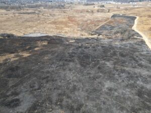
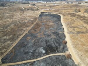
Below are the post-burn drone images. The left photo is a more inclusive view of the Sedge Meadow and the Shannon Prairie. Note the location of the propagation garden in the upper right-hand corner. The right photo is a close-up of the Shannon Prairie and the propagation garden. These images not only help provide our land manager with a more detailed assessment of what the burn has accomplished but are also used to provide documentation for our Aquatic Invasive Species (AIS) grants.