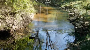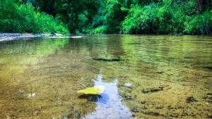

“What would be the effect on runoff and water quality by converting the Acker property back to natural prairie?” is the question Dane County and the Friends are trying to answer in this study. The recent acquisition and planned restoration of the Acker Farm by Dane County provides an opportunity to monitor the water quality response of conversion of agricultural land to perennial prairie vegetation.
The study started in August 2019 to document baseline conditions prior to any restoration activities and will continue for at least 2 years after the completion of restoration (total of possibly 5 – 6 years). This new study uses monitoring methods similar to those employed by the Friends in their 2003-06 and 2010-12 studies. These studies documented extremely high nutrient and sediment concentrations in the ephemeral tributary to Pheasant Branch Creek. Current study leaders are Matt Diebel, Dane County Watershed Coordinator, and Herb Garn, Friends Watershed and Restoration Committees, who coordinate a sampling team of volunteers (Jim Bachhuber, Michael Niebauer, Janice and Chris Kehler). Dane County has provided the funding, equipment, and technical support to make this study possible.
Samples will be collected at 2-4 sites (see map) during runoff events in all seasons. Sites 3 and 4, which are downstream from the Acker Farm, will be sampled during every runoff event and sites 1 and 2, which monitor sources upstream from the Acker farm, will be sampled when there is significant flow at those sites.
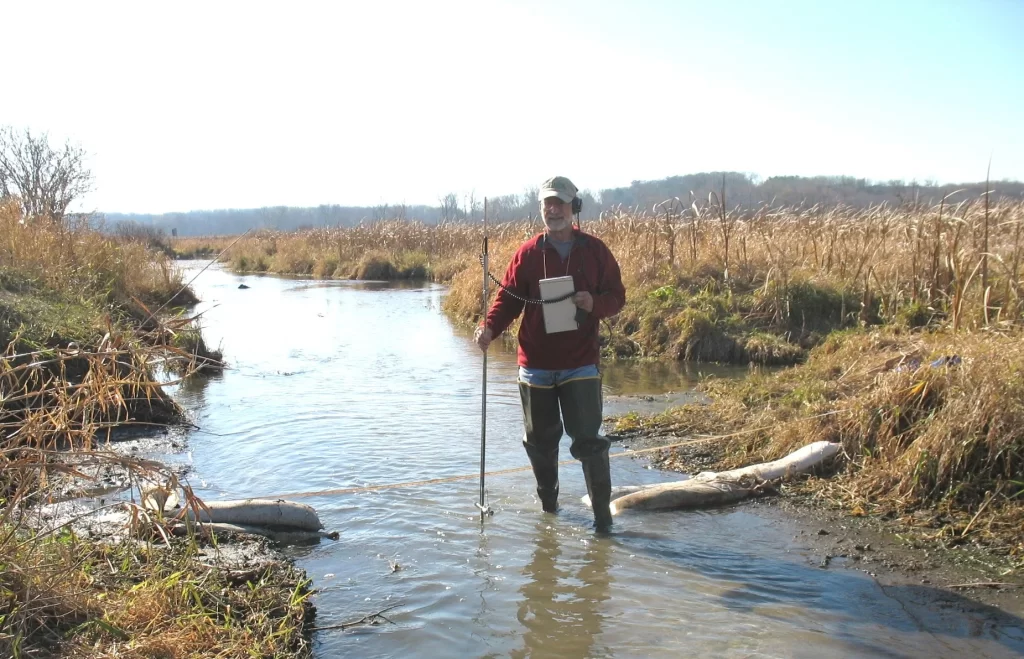
Water quality samples are collected by the “grab” method, dipping sample bottles near the center of flow. Stream discharge is estimated at time of sample collection by measuring cross sectional area of flow and by estimating velocity in a measured length of channel. The county has also installed a recording rain gauge and automatic recording water-level sensors at the two main monitoring sites downstream from the farm. Volunteers deliver water samples to the Wisconsin State Lab of Hygiene for analysis as soon as possible after collection. Water samples are analyzed for total Kjeldahl nitrogen (TKN), NO3+NO2 nitrogen, total phosphorus (TP), dissolved orthophosphate (DOP), and total suspended solids (TSS). Water quality data will be stored in the WDNR Surface Water Integrated Monitoring System (SWIMS) data base and a final report will be prepared by Dane County.
Because of the very wet fall so far in 2019, 8 samples from events in September -November have been collected to date. Preliminary results from these samples, for example for TP, averaged 4.5 mg/L at site 3 and 3.78 mg/L at site 4, indicating that TP concentrations have decreased at both sites relative to samples collected in 2010-12, although these results are only for a partial year (the majority of annual runoff and nutrient loads usually occur during January-April). However, TP is still very high relative to concentrations in other agricultural streams of Wisconsin and the state water quality standard of 0.075 mg/L TP for Pheasant Branch Creek. DOP, as a part of TP, averaged more than 70% of TP at both sites, which is a high proportion of TP.
Our objective is to document changes in the amount and quality of runoff over time as the Acker property is restored to prairie. We expect to see a reduction in nutrients flowing downstream to Lake Mendota, which is a key reason that Dane County acquired this property.
Related Articles
The Effects of Salt Use in Winter
Salt can have a detrimental effect on local waterways. What does that mean for Pheasant Branch Creek?
Learn More →
Phosphorus: Are We Part of the Solution or Part of the Problem?
The Devil’s Element explores the phosphorus paradox—how a vital nutrient fuels food systems while threatening waterways and long-term sustainability.
Learn More →
Redtail Ridge Development Leads to Pheasant Branch Conservancy
Redtail Ridge runoff threatens Pheasant Branch Conservancy. Discover why sustainable practices and resident action are vital to protect the watershed.
Learn More →